Your guide to the mountains.
Terrain, routes and conditions in three dimensions — so you can see a line before you commit to it.


Coming soon — join the waitlist and we’ll tell you when it ships.
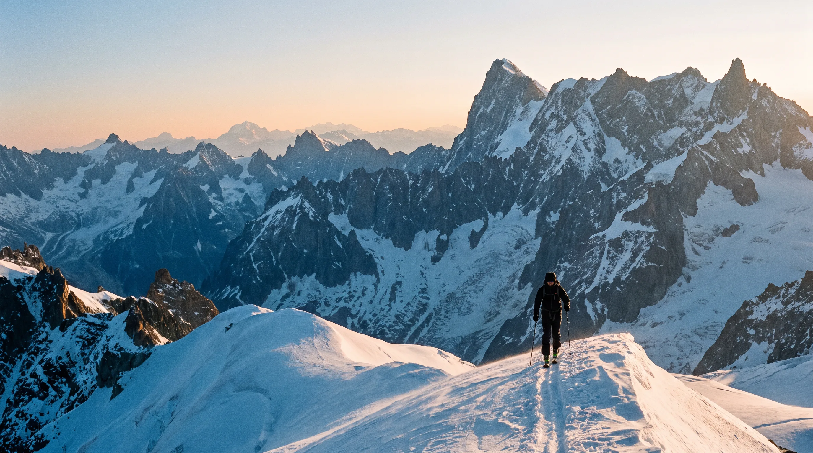
Illustrative image, AI-generated. Not a photograph of a specific location.
Discover Linemap
Built for mountain sports.
Plan a tour, read the slope you are standing on, and take the whole map with you when the signal goes. Linemap is being rebuilt from the ground up for ski touring, freeride and alpine days.
Coming soon — join the waitlist and we’ll tell you when it ships.
Be ready for whatever the day turns into.
Draw your own lines
Plot a route over real terrain and see its profile, aspect and gradient as you draw it.
Bring your tracks
Import and export GPX, so the routes you already have are not trapped in an app that closed.
Mark what matters
Waypoints for the col, the rappel, the car — the details that decide how a day ends.
Anywhere on earth
Terrain everywhere, not only where a resort has drawn a piste map.
A world of lines.
From the range you know to the one you have been reading about all winter.
Map data © MapTiler © OpenStreetMap contributors
Built by the outdoor community
Trusted by mountain professionals.
Ambassador portrait and quote — awaiting a real, attributable endorsement
Ambassador portrait and quote — awaiting a real, attributable endorsement
Ambassador portrait and quote — awaiting a real, attributable endorsement
The map the mountains deserved.
When FATMAP closed, a generation of route knowledge went offline with it. Linemap is being built to put that knowledge back on a map you can actually plan a day from.
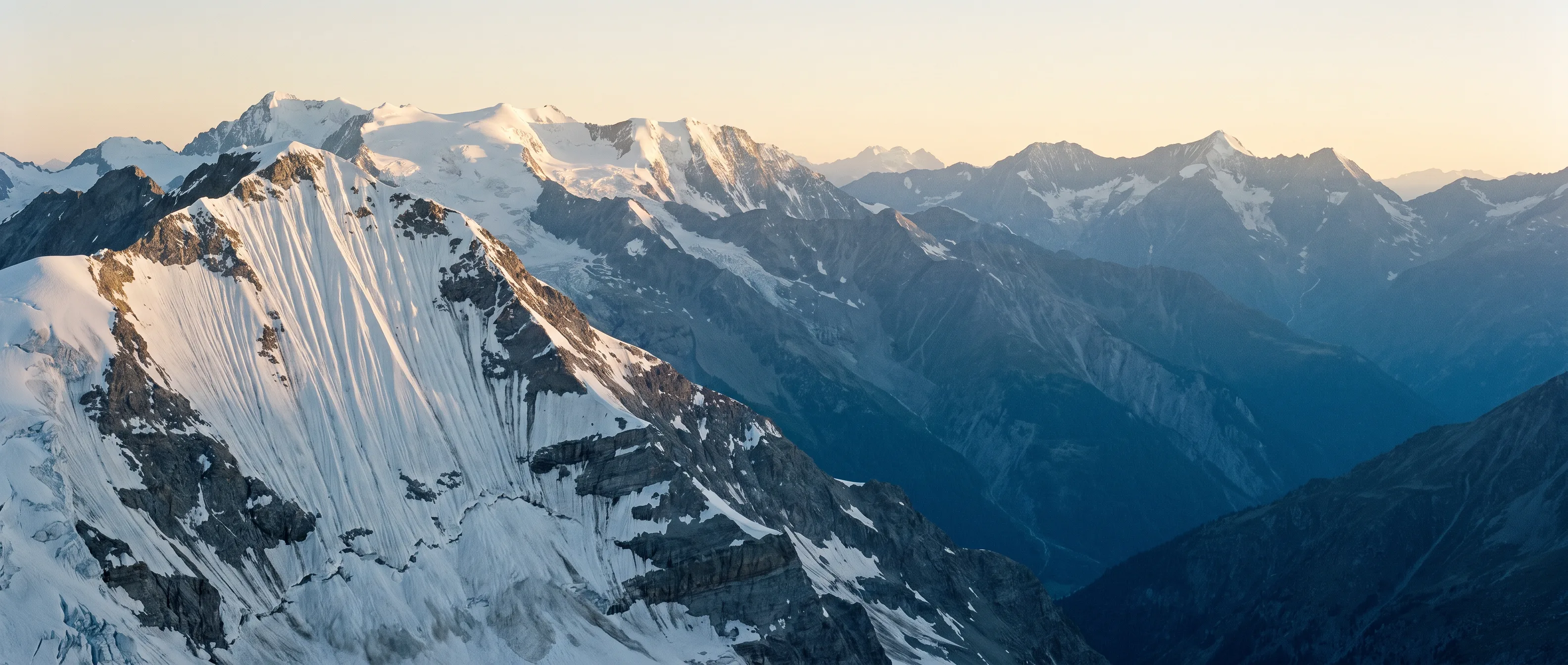
Illustrative image, AI-generated. Not a photograph of a specific location.
Get the first lines.
Linemap is being rebuilt range by range. Leave your email and we will tell you when yours is on the map.